
Satsop Nuclear Plant Cooling Towers @ 4,500 feet
Today (Sunday) I hit another milestone in my flight training, my first cross country flight! As I’ve mentioned before a cross country flight is a flight more than 50 nautical miles from your home airport. The plan today was to fly from KPLU (Thun Field) to KHQM (Hoquiam). My flight lesson started at 9:00 AM, and I booked 4 hours of time.

Olympic Mountains Through The Haze @ 5,500 feet
I got up at 7AM and started plotting my course on the Sectional Chart and filling out my flight plan. I quickly realized I hadn’t allowed myself enough time to plan this flight! It’s crazy that a 2 hour flight, takes that long to plan. I’m sure as I get better at it I will be faster, but today there definitely was a steep learning curve.
I called Lockheed Martin Flight Services for a standard weather briefing. Told them we’d be cruising from KPLU to KHQM at 4,500 feet. Fortunately the weather forecast was for smooth flying!! Hoquiam was reporting greater than 7 miles visibility and the clouds at 12,000 feet. Weather enroute and at KPLU was for much of the same. I started calculating time and distance between each of my checkpoints, along with fuel burn. One of the big differences between flying and driving is that you cannot just pull over at any random place and get gas. You need to study your planes POH (Pilot’s Operating Handbook) and figure out how high you’ll be flying and at what RPM to get a fairly good guesstimate of how much fuel you’ll use enroute. Running out of gas in the air comes with far more drama than it does on the ground. Before I knew it, it was 8:30 and I needed to hustle, get showered and head to the airport.

I checked in and Meg helped me complete my flight plan. However I only completed 1/2 of it. I was supposed to have one for the return trip too! Oops! I headed out to the airplane, N84823, and began my pre-flight check. Everything was A-OK and soon enough we were taxiing down to runway 16. We did our pre-flight run up, I made the call and we were off. I pulled onto the runway, pushed the throttle all the way in, gave it some right rudder and we were speeding down the runway! As I pulled back on the yoke, the plane was airborne and I started our climb out. I kept the plane on the extended centerline of the runway, pitched my nose down so we could see and we were flying. Meg asked me “How did that feel?” “Awesome!” Was my reply. She said “I think that was your best takeoff yet!” And truth be told, it FELT like my best takeoff as well!

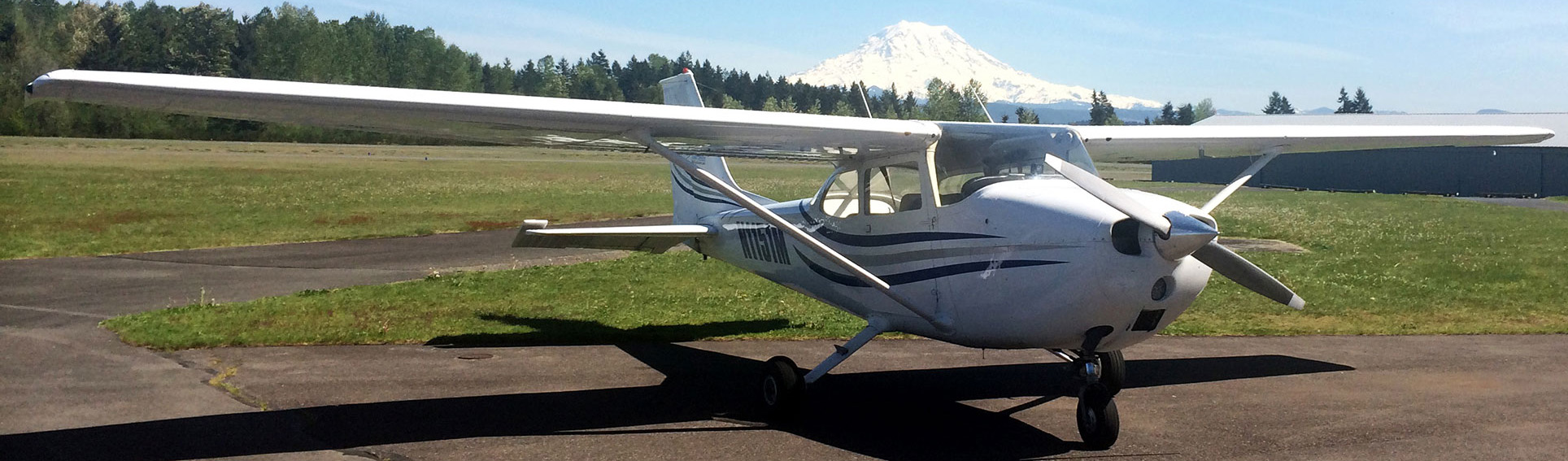
Mount Rainier from Thun Field, 06/22/2014
Mount Rainier was gorgeous that early in the morning, before the haze settled in. We climbed up to about 2,000 feet, and Meg switched over to McChord’s tower frequency and asked permission for us to transition their airspace to the west. They gave us a discrete transponder code so they could see us, and granted us permission. It was really cool flying over their runway and seeing all the C-17’s parked on the Ramp. Once we were out of their airspace, they told us to “sqwak VFR and have a good day” meaning to set our transponder back to 1200. We climbed from there to our course altitude of 4,500 feet and headed to our first check point, the 12° radial from the Olympia VOR. Once we hit that, we made a turn to the South directly towards the Olympia airport. It was really cool being up in the air over the sound. This was the first flight where I felt like I could do some sightseeing. You could see the Nisqually river delta, Anderson & McNeil Islands, the Olympic Mountains, Mount Rainier, Adams and St. Helens, it was just really cool. I did a pretty good job of maintaining course and altitude. After we hit Olympia, we turned west and my next check point was the Satsop nuclear plant cooling towers. After that it was on to Hoquiam.
We got just outside of Aberdeen and started our descent to about 2,000 feet. We set up for the 45 just south of the airport, turned north east for the 45, entered the downwind at 1,000 feet, pattern altitude. Meg was calling out my turns, speeds and altitudes for base and final. She told me when to cut power, flare, etc. and then before I knew it, we were on the runway. Meg started pumping her fist and whooping and hollering and laughing! She says to me “Ladies and Gentlemen, John Hurlbut has just made his first totally unassisted landing!” What? A good takeoff and landing in the same day? Maybe that learning plateau is finally behind me? We taxied over to the runup area for runway 24 and Meg showed me how to program the GPS for the return flight. KHQM -> 4W8 -> KOLM -> KTCM -> KPLU (Hoquiam, Elma, Olympia, McChord, and Thun) I made the shout out on the radio and just like that we were off again. Another great takeoff!
We followed the GPS back at 5,500 feet and descended to 2,000 feet before we got to McChord. This time I did the calls on the radio, they gave us a discrete transponder code and we were crossing over again. We set up for the 45 for Thun landing on runway 34. We had some wonkiness with the radio so we were kind of distracted coming into our base turn and turning onto final, a bit high and a bit fast. I keyed the mic to trigger the runway lights and gave it a couple more notches of flaps. The landing this time was not nearly as pretty as in Hoquiam but I think it was mostly unassisted as well. We did bounce just a slight bit, but not too horribly. We taxied to the fuel pumps, gave the plane a drink and put her back in front of the hangar.
Overall this was an amazing day! I can’t wait to get back in the air again. I feel like I’m past my learning plateau. To top it all off, today (Monday) I’m sending in everything to the FAA for what I HOPE is the last round to finally get my 3rd class medical certificate! Here’s hoping!